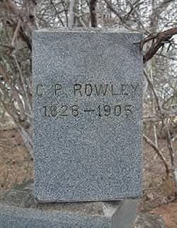
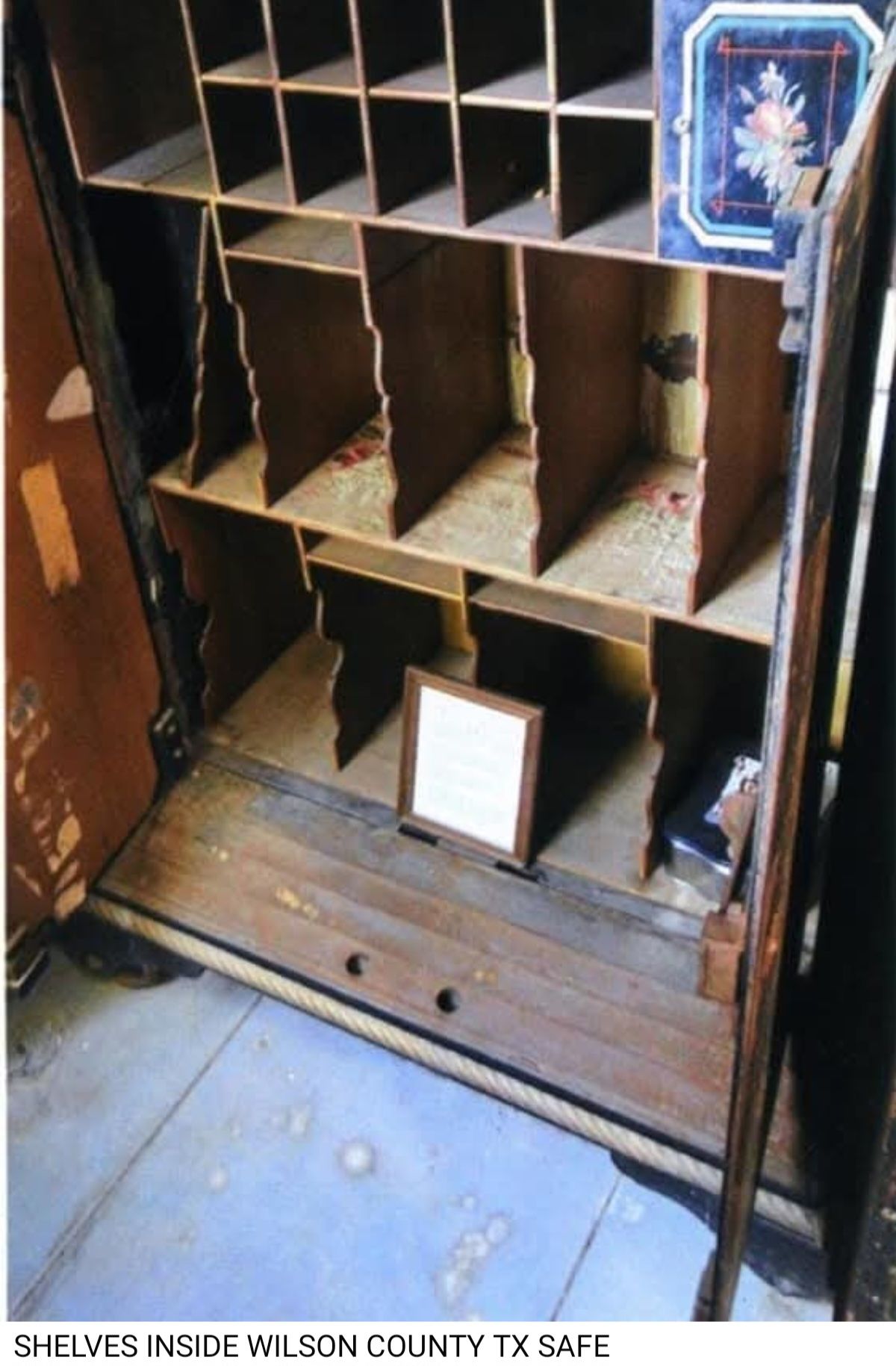
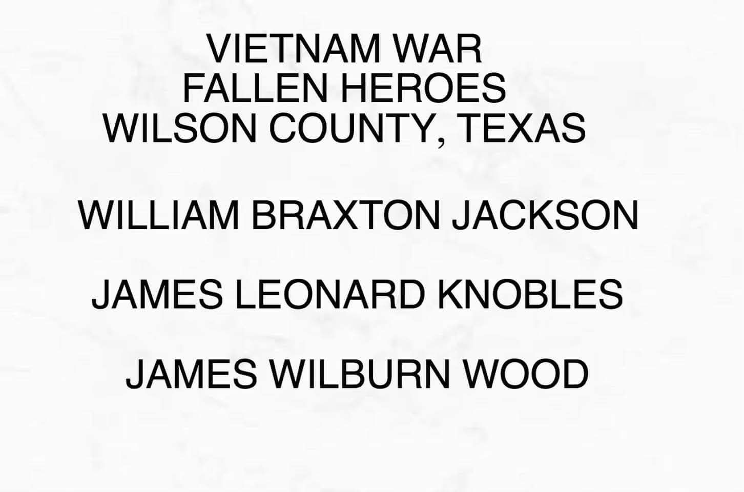
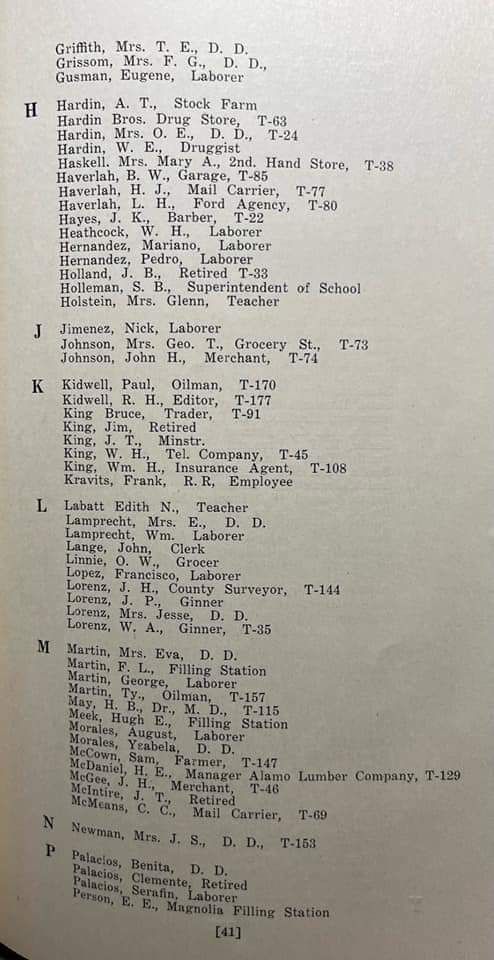
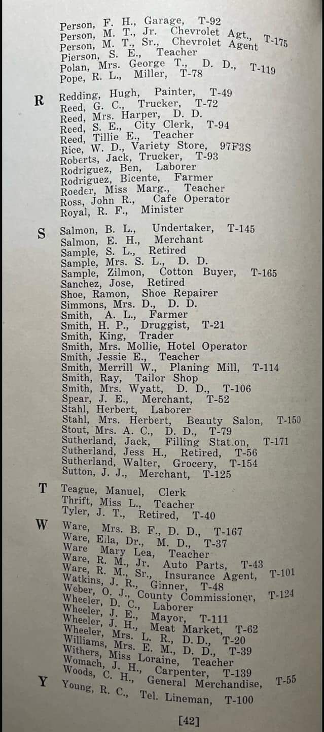
WILSON COUNTY IN 1890 - 1891 .... (There may be kinfolks among these names)
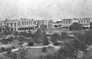
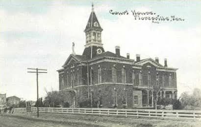
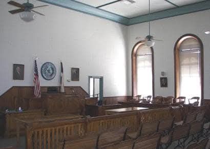
FLORESVILLE was a village on the San Antonio river and on the S.A. & A.P. Ry, in Wilson County, which it is the county seat, 110 miles southwest of Austin and 30 southeast of San Antonio, the nearest banking point. It contains 2 hotels, several stores, 2 weekly newspapers and 2 steam grist mills and cotton gins. Cotton and live stock are shipped. Tel., W. U. Exp., Pacific. Population: 1,500.
W. C. Agee, postmaster.
Agee Wm. C, drugs and books.
Armond, Mrs. Poca, dressmaker.
Baker, W. H., photographer.
BALLARD, Benjamin F., Attorney-at-Law.
Bates, James M., grocer.
Bledsoe, Lane, carpenter.
Buford, Miss Kate, music teacher.
Burgess, W. T. agent S A & A P Ry and S. P. Express.
Camp, J. F. live stock.
City Hotel, Asa W. Murray, propr.
Collins, Mrs. Alice, dresmaker.
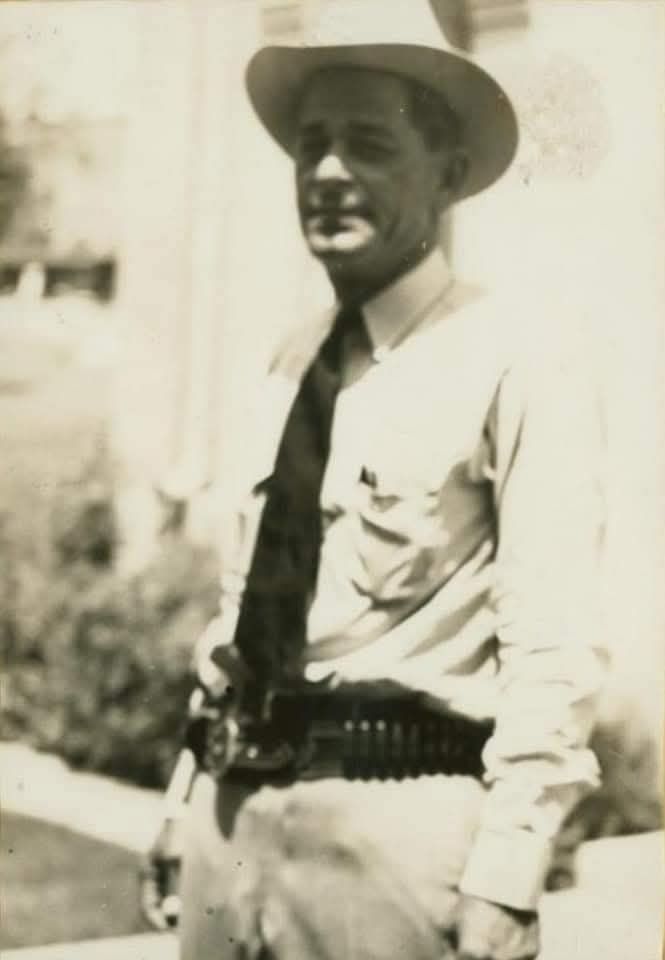
Creech, Richard, Sheriff.
Dewees, Thomas, livestock.
DeZerda, Nemcio, assessor of taxes.
DICKEY, James W. Propr. Floresville Chronicle.
Evans, A. D. Physician.
Evans, K F" dentist.
Fernandes, Jesus, shoemaker.
FLORESVILLE CHRONICLE, James W. Dickey Propr.
Floresville Citizen, Le Stourgeon & Blanton proprs.
Garza, Dio-Dela, shoemaker.
Gillett, Mrs. Martha M., millner.
Goldstein & Selig (Edwin M. Goldstein, Emile Selig) general store and cotton buyers.
Griffith, John & Co. (John Griffith, Wm. J. McIntyre, H. W. Rhode), general store.
Hough & Le Stourgeon (Wm. P. Hough, Ernest Z Le Stourgeon), tinsmiths.
Hubbard, R. W., dairy.
Hughes, Lemuel P., county clerk.
Jennings, George H., justice of peace.
Kluwe, Martin, blacksmith and wagonmaker.
Kroeger, Wm. C., cotton gin and grist mill.
Lawhorn, L. S., lawyer.
Layton, L. F., physician.
Le Stourgeon & Blanton (Ernest Z Le Stourgeon, Charles H. Blanton), proprs. Floresville Citizen.
Lopas, George, teacher.
Lopas, Miss Laura, music teacher.
McDaniel, B.F., live stock
McDaniel, John, live stock.
John K, district clerk.
Martin & Schryner, lumber.
Murray, Asa W., propr. City hotel.
Murray, W O. & Co. (Wm. O. Murray, Ira Ezzell), general store and cotton buyers.
Myers, G. B., Inspector of hides and animals.
Myers & McDaniel (W. K Myers, John McDaniel) meats.
Nowierski, Leon K., jeweler.
Pickett, Andrew A. G., county and probate judge.
POLLEY, Joseph B., Lawyer and Land Agent.
Rabensburg, Henry B., harnessmaker.
Ramaro, Pedro, restaurant.
Rawls & Coughran, live stock.
Reagan, Miss Minnie, dressmaker.
Rhode, Oscar D., grocer.
Rhode & Edds (Oscar D. Rhode, George Edds), cotton gin and grist mill.
Rice, James P., restaurant.
Rosser & Carroll, livestock.
Russell, Rev. J. C. (Methodist)
Scott, W. A. & CO. (Wm. A. Scott), Samuel D. Seale, John C. Meyer), general store and cotton buyers.
Seale, E. Y., county treasurer.
Seldon, Wm., county surveyer.
Silvanos, Joseph, restaurant.
Smiley, James W., blacksmith.
Stevenson, A. R., county attorney.
Thomas, Austin G., Propr. Thomas Hotel, Livery, Sale and Boarding Stable, Bus and Transfer Line To and
From All Trains.
THOMAS HOTEL, Austin G. Thomas, Propr.
THOMPSON, Henry C., Jr., Editor Floresville Chronicle.
Wassenich, Joseph, general store.
Watkins, R. H., physician.
Watts, James, general store.
Williams, A. J., lawyer.
WiJliams, George, dairy
Williams & Herrington (Joseph B. Williams, Evan W. Herrington), drugs and hardware.
Winkler, Rudolph, restaurant.
FAIRVIEW. A postoffice in Wilson County, 120 miles southwest of Austin, 12 miles southwest of Floresville, the county seat and shipping point, and 28 southeast of San Antonio, the nearest banking point.
Population, 30. Mail, daily. Daniel McKenzie, postmaster. .
Faust, M. M., general store
Kroger, C. W., corn mill.
McKENZIE, J. B., General Store
Oslin, E. A., blacksmith.
Priest, E. T., carpenter.
Rose, G, W., justice of peace.
Servoys, W. A., carpenter.
Titsworth, C. G., photographer.
Treon, J. E, physician.
STOCKDALE: A village in Wilson County, 17 miles northeast of Floresville, the county seat and nearest
Railroad station. San Antonio is the nearest banking point. Settled in 1871, it contains 3 churches, a district school, 3 grist mills and cotton gins. Stages daily to San Antonio. Population, 450. MaiL daily.
Thomas B. Morris, postmaster.
Barnes, W & P, grist mill and gin
Boatwright, B. F., physician.
Boone, J. H., grocer.
Carmichael C. S., grist mill and gin.
Harper, W. E., meat market.
Holland, J. B., lawyer.
Johnson, B. F., physician.
King, H. C., general store.
McGee, M. S., justice of peace.
MORRIS, Thomas P., attorney.
Park & Wheeler, general store and drugs,
Saunders, S. A., general store and drugs.
Smith, M. M., blacksmith and wagonmaker.
Watson, Wh., grocer.
Wheeler, D. grist mill and gin.
Williams, E. N hotel.
LIST OF COUNTY OFFICERS:
R. R. Creech - Sheriff
A. R. Stevenson - County Attorney
W. Y. Sutherland - County Surveyors
N. de laZerda - Assessor of Taxes
G. B. Myers - Inspector of Hides and Animals
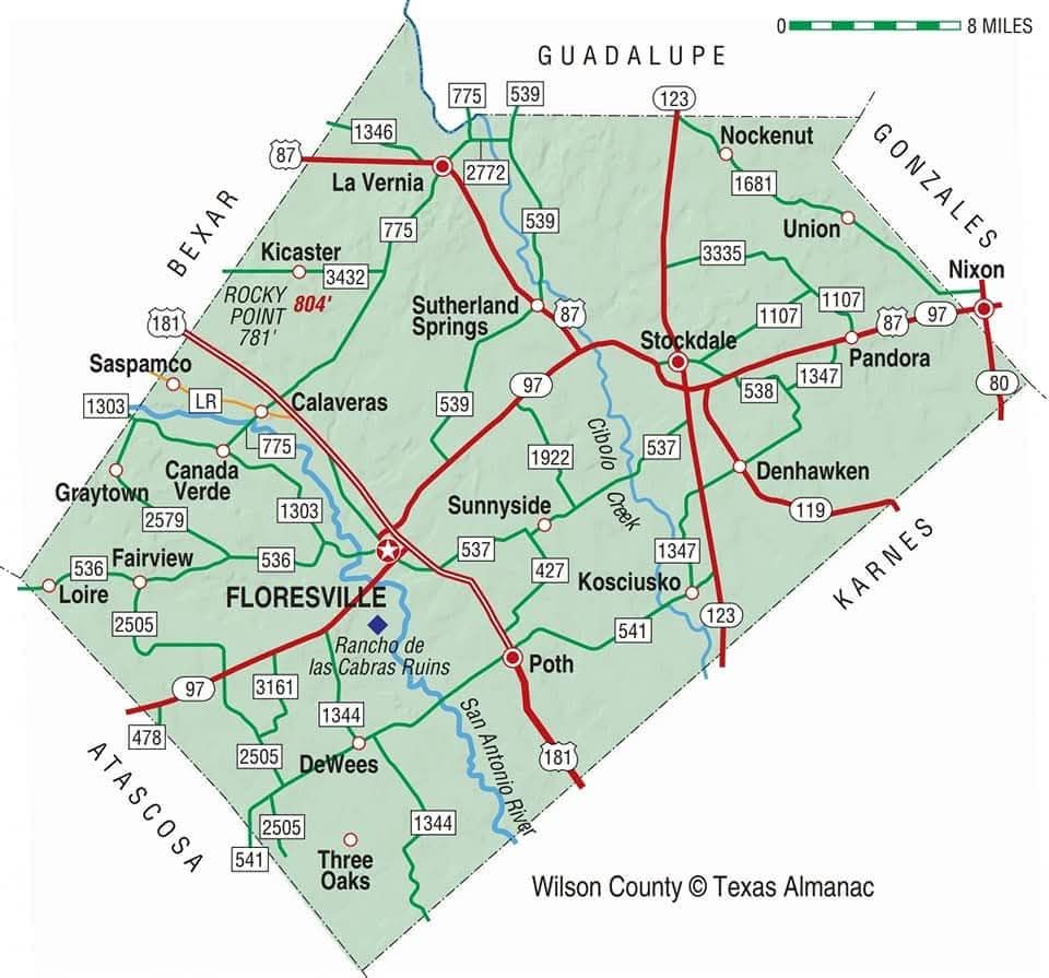
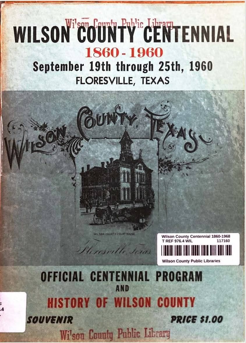
Wilson County consists of five small towns and six communities. In 1960 the main towns in Wilson County are FLoresville, the County Seat, Stockdale, Poth, LaVernia
and Sutherland Springs. Floresville celebrates the Peanut Festival each year while Stockdale celebrates the Watermelon Jubilee; Poth holds their annual Community Chest Picnic and Kosciusko their annual church picnics. The population in the county consists largely of Anglo-American, Irish, German, Polish, and Latin-Americans.
(Information: Texas State Gazetteer and Business Directory 1890-1891 Volume III Submitted by W. M. "Bela" Smith - Directory owned by K. J. Smith)
(Wilson County Centennial Book)