
by Barbara J. Wood
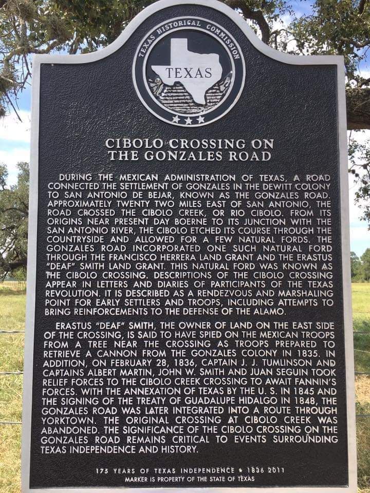
Cibolo Crossing on the Gonzales Road
Cibolo Crossing on the Gonzales Road ... Marker Text "DURING THE MEXICAN ADMINISTRATION OF TEXAS, A ROAD CONNECTED THE SETTLEMENT OF GONZALES IN THE DEWITT COLONY TO SAN ANTONIO DE BEJAR, KNOWN AS THE GONZALES ROAD.
APPROXIMATELY TWENTY TWO MILES EAST OF SAN ANTONIO, THE ROAD CROSSED THE CIBOLO CREEK, OR RIO CIBOLO. FROM ITS ORIGINS NEAR PRESENT DAY BOERNE TO ITS JUNCTION WITH THE SAN ANTONIO RIVER, THE CIBOLO ETCHED ITS COURSE THROUGH THE COUNTRYSIDE AND ALLOWED FOR A FEW NATURAL FORDS. THE GONZALES ROAD INCORPORATED ONE SUCH NATURAL FORD THROUGH THE FRANCISCO HERRERA LAND GRANT AND THE ERASTUS "DEAF" SMITH LAND GRANT. THIS NATURAL FORD WAS KNOWN AS THE CIBOLO CROSSING.
DESCRIPTIONS OF THE CIBOLO CROSSING APPEAR IN LETTERS AND DIARIES OF PARTICIPANTS OF THE TEXAS REVOLUTION. IT IS DESCRIBED AS A RENDEZVOUS AND MARSHALING POINT FOR EARLY SETTLERS AND TROOPS, INCLUDING ATTEMPTS TO BRING REINFORCEMENTS TO THE DEFENSE OF THE ALAMO.
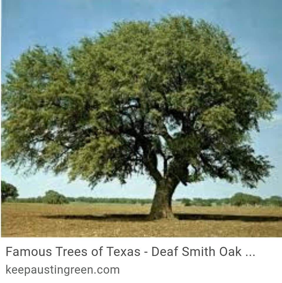
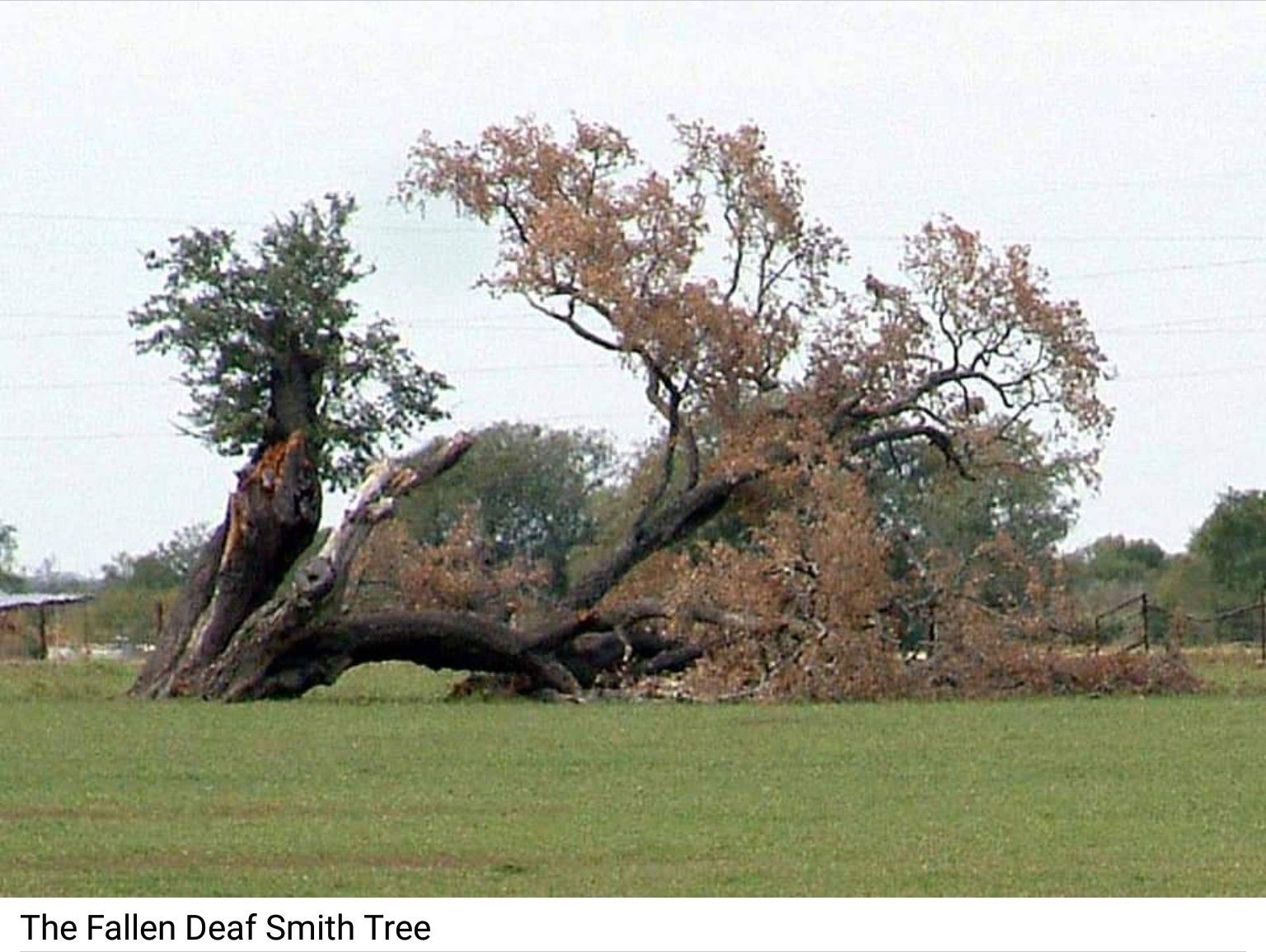
ERASTUS "DEAF" SMITH, THE OWNER OF LAND ON THE EAST SIDE OF THE CROSSING, IS SAID TO HAVE SPIED ON THE MEXICAN TROOPS FROM A TREE NEAR THE CROSSING AS TROOPS PREPARED TO RETRIEVE A CANNON FROM THE GONZALES COLONY IN 1835.
IN ADDITION, ON FEBRUARY 28, 1836, CAPTAIN J. J. TUMLINSON AND CAPTAINS ALBERT MARTIN, JOHN W. SMITH AND JUAN SEGUIN TOOK RELIEF FORCES TO THE CIBOLO CREEK CROSSING TO AWAIT FANNIN'S FORCES.
WITH THE ANNEXATION OF TEXAS BY THE U. S. IN 1845 AND THE SIGNING OF THE TREATY OF GUADALUPE HIDALGO IN 1848, THE GONZALES ROAD WAS LATER INTEGRATED INTO A ROUTE THROUGH YORKTOWN. THE ORIGINAL CROSSING AT CIBOLO CREEK WAS ABANDONED. THE SIGNIFICANCE OF THE CIBOLO CROSSING ON THE GONZALES ROAD REMAINS CRITICAL TO EVENTS SURROUNDING TEXAS INDEPENDENCE AND HISTORY. "
Marker Location on the west side of FM 775, .5 miles north of FM 2772 La Vernia Texas.